The Book of Interconnectedness


'The Book of Interconnectedness' is the first prototype of a series exploring the sense of Interconnectedness between humans and nature. It was presented as a work in progress on the second week of the exhibition 'Re-Imagining Hilbre' (17.06 - 01.07).
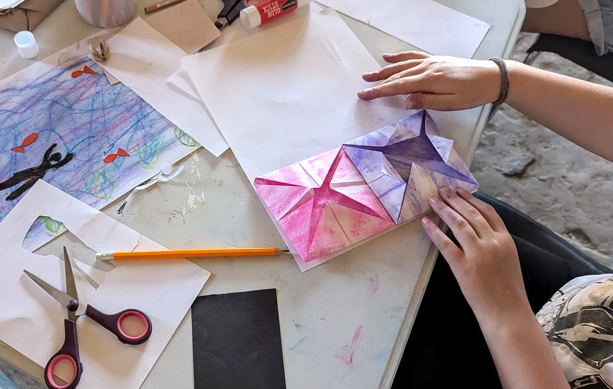
This first small sample celebrates a multilayered view of the island, conformed by people's perceptions of the landscape of Hilbre Island. Each page opens up into a 'map', an artwork created by the people who attended my workshops 'Re-Imagining Hilbre' during April 2025.
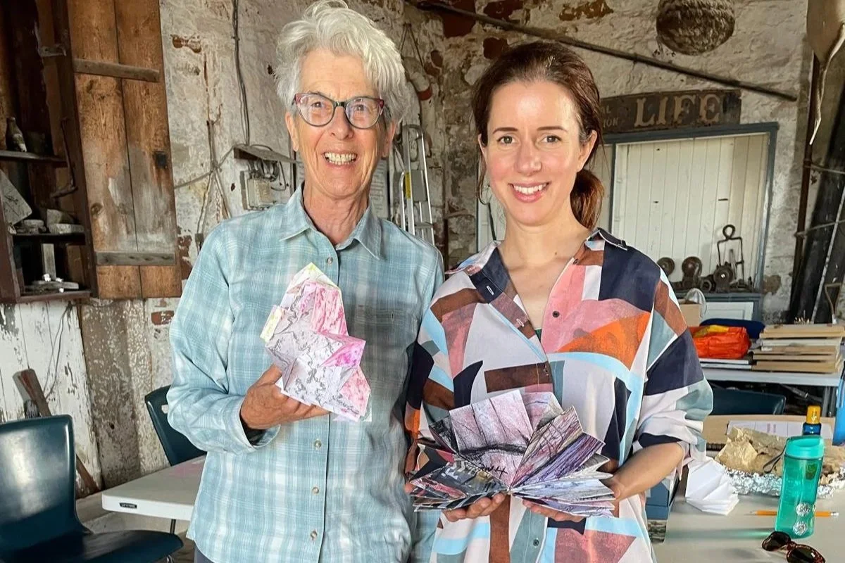
During the exhibition, people enjoyed interacting with the book and some visitors also created their own versions (see pictures 3 and 4 above).
History of the Turkish map fold
The design of the ‘Book of Interconnectedness’ is inspired in the maps that were used during the Ottoman empire, foldable maps that were easy to transport, also associated with ownership of land and knowledge.
Whether maps were inscribed with texts, embedded in texts, or detached from texts, they routinely conveyed impressions of history, travel, war, and the sacred. Those four categories were the primary and entangled prisms through which observers portrayed Ottoman space (Cambridge University Press, 2015).


Sacred spaces and the paths to them competed with conflict for attention on the map. As monarchs legitimized themselves through the invocation of an Abrahamic god, a crucial element of their sovereignty was the identification, possession, and protection of sacred space (Cambridge University Press, 2015).
In relation to the fourth image above (‘Algeri, Rome’), maps such as this one flow naturally from texts and bend the visual conceptualizations of place to replicate the lines and distortions of narrative. Thus Algiers may be approximated to Sicily; or Vienna and Istanbul may be placed in the same horizontal plane so that viewers can better imagine the journey. Each map reveals the avenues by which European publics grasped and ‘consumed’ the Ottomans and their empire. The readers' universe of knowledge might stand unmentioned in the background of the map or it might take the form of elaborate textual explanations. Even if the text on the body of the map was limited to a handful of place names, a whole universe of text and subtext was close at hand. The image could not escape it (Cambridge University Press, 2015).
Reflection
Maps that communicate a sense of space in relation to territorial ownership present an opportunity to explore how a sense of interconnectedness can be visualised. Connection between people and land can be narrated in many ways; map designing and subsequent folding of maps can help develop notions of territorial as well as knowledge boundaries. Knowledge that is built upon what is understood as shared territory or a shared narration/story of what it means to live in a particular place can help challenge and contribute to a new interpretation of connection between people and nature.